MACHU PICCHU 2022

CROSSING THE SALKANTAY PASS
DAY 7 : TUESDAY June 28, 2022


Soray Lodge - start: 4,221 m [13,845 ft]
Salkantay Pass: 4,600 m [15,090 ft]
Wayra Lodge - end: 3,906 m [12,812 ft]

Today was going to be a challenge - but so worth it. We started out early after a good breakfast and with a nice snack pack that we made up for ourselves (Mountain Lodges of Peru puts out a bunch of snack items which you can pack into your personal snack pack every morning - very nice!).

The trail started out as a rough road before it turned into a dirt track. Once we left the main valley we followed up the canyon ending up in an open area where we crossed a stream. Surprise, in the middle of nowhere we found a little concession shack (these are common for the major hiking routes). Here you could buy anything from a snack to a drink to even hiking sticks. We took a nice break near the stream while our guide chatted with the person running the shack. I must be an interesting life hiking up to the shack everyday, ensuring that it has items for sale and then talking with travelers. During the pandemic, many of these have shut down due to the lack of travel but it would be easy to imagine during normal times a lot of potential customers.

At the end of this valley there were a set of switchbacks called “7 Snakes” (there are more than 7!). This was a start of the rapid climb to the pass. We took a break in an open area strewn with giant boulder before the final section to the top. We were actually doing pretty well with the altitude. But here I got a surprise. I tend to be hypoglycemic (blood sugar can drop too low) but had been eating energy bars, etc as we went along to avoid a blood sugar crash. But suddenly I was feeling nauseous and my vision was starting to narrow - classic signs of a crash. It turns out that our guide for some reason wasn’t really into taking breaks. He told us to take our time and take pictures as we wanted to. But he kept going ahead so we kept going. Here it the lack of break caught up with me.

I wandered off to be by myself for a bit while I ate some more and did some recovery. The guide did check in with me and I ensured him that I was OK but needed more time before continuing. So he took the rest of our group on up the trail and said that he would meet me at the small lake before the final slope. He didn’t meet me there but I must say, our porter with his horses was awesome. Our porter met me at the lake, insisted on taking my daypack and stayed with me to the top. Super nice guy and never once made me feel like I was not keeping up.

It turns out our guide, as we discovered, seemed to like to hike ahead of the group and actually spent time talking with the locals more than with us. Nice guy but not someone I would ever use for a guide again. Very different from everyone else that I met in the Mountain Company lodges and their other guides. The luck of the draw I guess but it wasn’t going to spoil the trip.

At the top of the pass, it was spectacular. We all took a break and met with several other hikers making the trek. We didn’t need the down coats and gloves that we had brought - it was a beautiful day up there (chilly but very nice). I can imagine how bad the weather could be if the wind was blowing. But we were super lucky - an absolutely amazing day! It was hard to believe we were actually at 4,600 m [15,090 ft] in elevation. Way above anything I had done before.

After a short break, we started down the very long descent - 694 m (2,278 ft) to our next lodge. Once again, our guide didn’t believe in stopping but our group and our porter stayed together and kept at it. It wasn’t too steep and the views were fantastic.

By the time we got to the lodge, we were all dragging (had not eaten other than snacks since breakfast). My hypoglycemia was in full force so I sat for a while without talking and luckily the lodge was able to get me a couple of fruit juices to get my blood sugar back up. The food was really good as usual and the staff, while staying in the background, were very attentive.

It turns out the rush to get to the lodge without breaks was to have time for lunch. They had planned a pizza break in a hour or so and then dinner. Would have been much better to have a light trail lunch and then taken our time to get to the lodge.

Regardless, we all got some rest, enjoyed the hot tub (every lodge had one!), and the dinner once again was awesome. And we were definitely hungry :)

One note on this lodge - there are no roads into this area so everything has to be packed in by mules or horses including building materials, food, even fuels. They originally had started building this lodge out of adobe but discovered that the rains were so intense during the rainy season that they could not complete it before it literally washed away. So the current lodge was stone. Again, beautiful architecture and a wonderful setting.

They even had internet (limited bandwidth and only for certain hours). The electricity was also turned off after a certain time as it was all from gas powered generators. Amazing to have power and internet in such a remote location!

VIEWING HELP

To close this window, click the X in the upper right hand corner. Or click anywhere outside of this window's area.

Photos from each day are shown in thumbnail (small) form. Panoramas are either wide or tall images, while normal photos are small rectangles. All photos shown in the PHOTO SHOWCASE section can be enlarged for better viewing. Photos will enlarge to fit your browser window width. Therefore, to view them at larger sizes simply make your browser window wider.

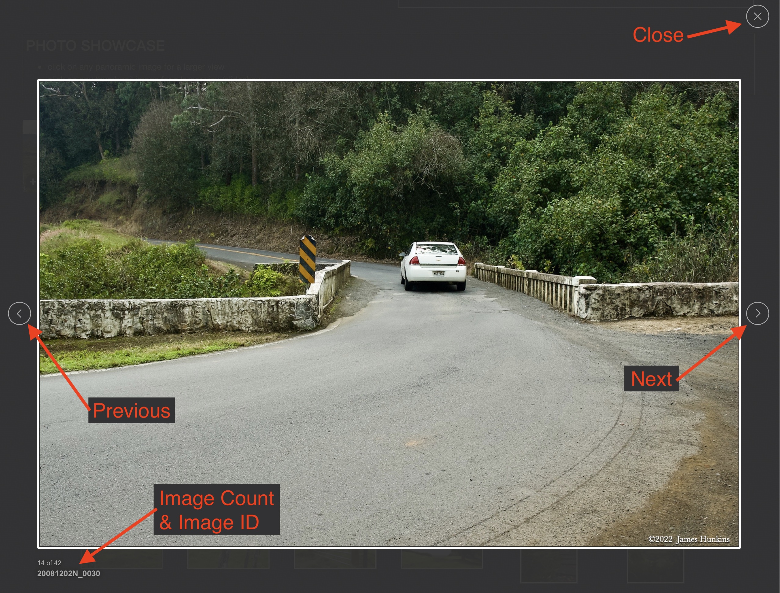
If there is any issue or the need to inquire/comment about an image, please refer to the Image ID label (see below) of the specific image along with the trip name found at the top of the browser window.

Video Clips

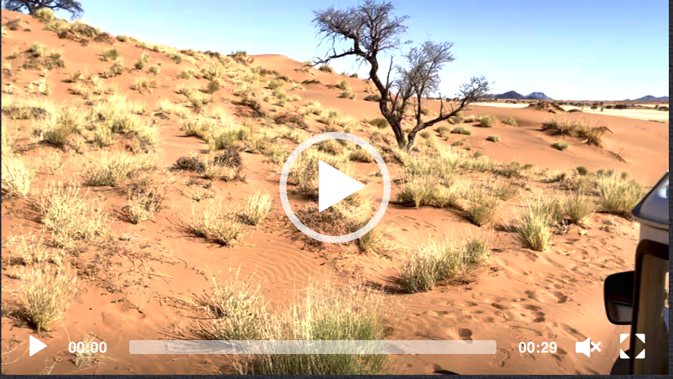
Depending on the browser, you may or may not see the play symbol in the middle of the image along with the lower left hand corner. Regardless, clicking anywhere in the image will start or stop the playback. Also, the progress bar along the bottom can be clicked on to skip or replay the video.

The Image ID label is found just below the thumbnail image on the left side.

Image

Panoramas

Clicking anywhere on a panorama thumbnail will cause the image to expand to fill the browser width. Clicking again anywhere in the browser window or scrolling the browser window will cause the expanded image to shrink back to its smaller thumbnail size.

The Image ID label is found just below the thumbnail image on the left side.

Image

Individual Photographs

If you click on any photo thumbnail, it will open a larger viewer which can be used to walk through all of the standard photos on the page. Once open, to go forward click on the > on the right side of the enlarged image. To scan backwards, click on the < on the left side. To close the larger images either click on the X in the upper right hand corner of the browser window or anywhere outside of the enlarged image.

The Image ID label can be found by hovering a cursor over the image briefly (may not be available on some tablets/phones) or, once enlarged, from the lower left hand side just under the image.

Additionally, in the same area as the Image ID a count showing the current image number versus the total number of images available for viewing.

Image
Image
Image
PHOTO SHOWCASE
  • click on any panoramic image for a larger view
  • click on any thumbnail image for a larger view/slideshow
Image
2206280067P - Open area for a final rest break before the top of Salkantay Pass
Image
2206280076-0082N - Final climb to Salkantay Pass, Salkantay on the right
Image
2206280087-0091N - Looking back down the trail from near the top
Image
2206280093-0101N - Final approach to the pass
Image
2206280102P - Wider view near the top
Image
2206280113P - Salkantay Pass with Salkantay peak on the right
  • Just leaving the lodges and encampments below the pass
    Just leaving the lodges and encampments below the pass
    2206280001P
  • Several huts for hikers on the right, Salkantay straight ahead
    Several huts for hikers on the right, Salkantay straight ahead
    2206280002N
  • Looking back at Soray Lodge
    Looking back at Soray Lodge
    2206280003N
  • The hike follows a rough road for a ways up a valley into a canyon
    The hike follows a rough road for a ways up a valley into a canyon
    2206280004P
  • 2206280006N
  • 2206280011N
  • 2206280012P
  • 2206280013P
  • Major rockslide area and washout on the left
    Major rockslide area and washout on the left
    2206280014N
  • Looking closely on the lower left, a parallel trail to ours
    Looking closely on the lower left, a parallel trail to ours
    2206280016P
  • 2206280017N
  • 2206280018N
  • Crossing a stream in an open area on the way
    Crossing a stream in an open area on the way
    2206280021P
  • A hikers concession hut in the open area - hiking poles, soft drinks, snacks, etc - in the middle of nowhere
    A hikers concession hut in the open area - hiking poles, soft drinks, snacks, etc - in the middle of nowhere
    2206280033N
  • 2206280035P
  • 2206280038P
  • 2206280041N
  • 2206280042N
  • Looking back towards the concession hut
    Looking back towards the concession hut
    2206280043N
  • 2206280044N
  • One last look back towards the open area as we start climbing again
    One last look back towards the open area as we start climbing again
    2206280047N
  • Starting up the 7 Snakes switchbacks
    Starting up the 7 Snakes switchbacks
    2206280049N
  • An alternate trails without switchbacks (steeper)
    An alternate trails without switchbacks (steeper)
    2206280050P
  • Pack animals coming down from the pass (they have the right of way)
    Pack animals coming down from the pass (they have the right of way)
    2206280051P
  • 2206280054P
  • OK, so fully loaded pack animals are faster than we were - yielding to them again
    OK, so fully loaded pack animals are faster than we were - yielding to them again
    2206280056P
  • Looking back down the 7 Snakes switchbacks
    Looking back down the 7 Snakes switchbacks
    2206280060P
  • 2206280063P
  • 2206280065N
  • An open area with giant boulders - great rest stop before the final climb
    An open area with giant boulders - great rest stop before the final climb
    2206280068P
  • Small lake before the final climb to Salkantay pass
    Small lake before the final climb to Salkantay pass
    2206280069N
  • 2206280070N
  • 2206280076N
  • 2206280084P
  • Looking back down the trail near the pass
    Looking back down the trail near the pass
    2206280087N
  • Nearly at the top
    Nearly at the top
    2206280099N
  • 2206280103N
  • 2206280104P
  • Salkantay Pass - 4,600 m [15,090 ft]
    Salkantay Pass - 4,600 m [15,090 ft]
    2206280105N
  • Salkantay peak as we approached the pass
    Salkantay peak as we approached the pass
    2206280107N
  • Our heros - our porter and his horse and mules, at the pass
    Our heros - our porter and his horse and mules, at the pass
    2206280108N
  • Starting our long descent
    Starting our long descent
    2206280110P
  • Looking back up at Salkantay just as we start the descent
    Looking back up at Salkantay just as we start the descent
    2206280111P
  • Meeting pack animals coming up from the other side
    Meeting pack animals coming up from the other side
    2206280112P
  • 2206280114N
  • 2206280116P
  • One last look at Salkantay as we descend
    One last look at Salkantay as we descend
    2206280119N
  • 2206280121P
  • First glimpse of Wayra Lodge way below us
    First glimpse of Wayra Lodge way below us
    2206280122N
  • OK, so one more last look at Salkantay
    OK, so one more last look at Salkantay
    2206280126N
  • Nearing the lodge in a glacial swept valley
    Nearing the lodge in a glacial swept valley
    2206280127N
  • View from inside the lodge - at last!
    View from inside the lodge - at last!
    2206280129P

© Copyright 2022-2023
James Hunkins

Image