Hawaii 2022

Maui - Haleakalã
DAY 5 : THURSDAY May 12, 2022


The only thing negative about our hotel was its location which added one to two hours to any drives to the major points of interest for the island. But the place was so nice, it more than compensated.

For this day, it was clear that I had been driving everyone pretty hard to see and do things. And it turned out that my companions were true beach people :) I kind of knew that about my little sister and her husband as they have gone to Mexico resorts quite often.

I personally still wanted to go back up to Haleakala and do some hiking. So my buddy Charles agreed to drive up with me while everyone else stayed behind and just relaxed and enjoyed the area (by the way, this western side of the islands is very dry - perfect for beach weather).

The two of us headed out for the long drive up to the summit of Haleakala. Unlike Mauna Kea, we were able to drive all the way to the top which goes from sea level up to 3,055 m (10,023 ft). It is quite a drive starting in the grasslands at sea level, then up through wet forests and grasses before merging into dryer scrub. At that point the road started switchbacking up through the cloud layer. The road is well maintained and easy to drive - just not fast.

Since my last visit, Haleakala has been turned into a national park. This allows for better funding to preserve the unique plant and animal life, maintain the roads and visitor centers, etc. It doesn’t cost much and one can get a National Park pass for all the islands which is very convenient.

The Haleakala crater is not actually a volcanic caldera. It is probably a collapsed valley between two volcanic peaks. But you wouldn’t know that when you look at it. Viewing down into it, the colors are amazing and cinder cones are scattered throughout. The ‘depression’ is huge being 11.25 km (7 mi) across. 3.2 km (2 mi) wide and nearly 800 m (2,600 ft) deep. Its side walls are steep and the interior is mostly barren. To me it looks like it could actually be Mars. Haleakala is probably just dormant so still can erupt. Its last eruption was likely between 1480 and 1600. But clearly it is a lot less active than the volcanoes on the big island.

As to the hike, when we got to the top, windy was an understatement! It would be very easy to have your car door slammed into you if you didn’t hold onto it. The trade winds at that height are going strong and have nothing near it to divert or block them.

Charles decided to stay on top and take it easy while I took off down the Sliding Sands Trail for a short hike. On my last visit I went to the first cinder cone off the trail but that has been blocked off to restore the area (it was vastly over hiked). Instead I passed the side trail to that cinder cone, while totally enjoying the additional views (the orange on the map is where I hiked). One can do major hikes in the area with connections along the road. There are some huts which can be reserved for a night (that would be amazing and the star, sunrise/sunset - wow!). No water, etc. so everything is carried in and out which would just add to the experience. Perhaps on a future trip I might give it a try.

After I got back to the top, Charles and I headed back to the hotel. We joined everyone at a fun little Hawaiian bar just a short ways from our hotel for dinner. This might have become our favorite place to eat even compared to the two fancy meals we had on the big island. It appears no one in our group is much into fancy and are more comfortable with down to earth fun (and the food, drinks and staff were all great).

VIEWING HELP

To close this window, click the X in the upper right hand corner. Or click anywhere outside of this window's area.

Photos from each day are shown in thumbnail (small) form. Panoramas are either wide or tall images, while normal photos are small rectangles. All photos shown in the PHOTO SHOWCASE section can be enlarged for better viewing. Photos will enlarge to fit your browser window width. Therefore, to view them at larger sizes simply make your browser window wider.

If there is any issue or the need to inquire/comment about an image, please refer to the Image ID label (see below) of the specific image along with the trip name found at the top of the browser window.

Video Clips

Depending on the browser, you may or may not see the play symbol in the middle of the image along with the lower left hand corner. Regardless, clicking anywhere in the image will start or stop the playback. Also, the progress bar along the bottom can be clicked on to skip or replay the video.

The Image ID label is found just below the thumbnail image on the left side.

Image

Panoramas

Clicking anywhere on a panorama thumbnail will cause the image to expand to fill the browser width. Clicking again anywhere in the browser window or scrolling the browser window will cause the expanded image to shrink back to its smaller thumbnail size.

The Image ID label is found just below the thumbnail image on the left side.

Image

Individual Photographs

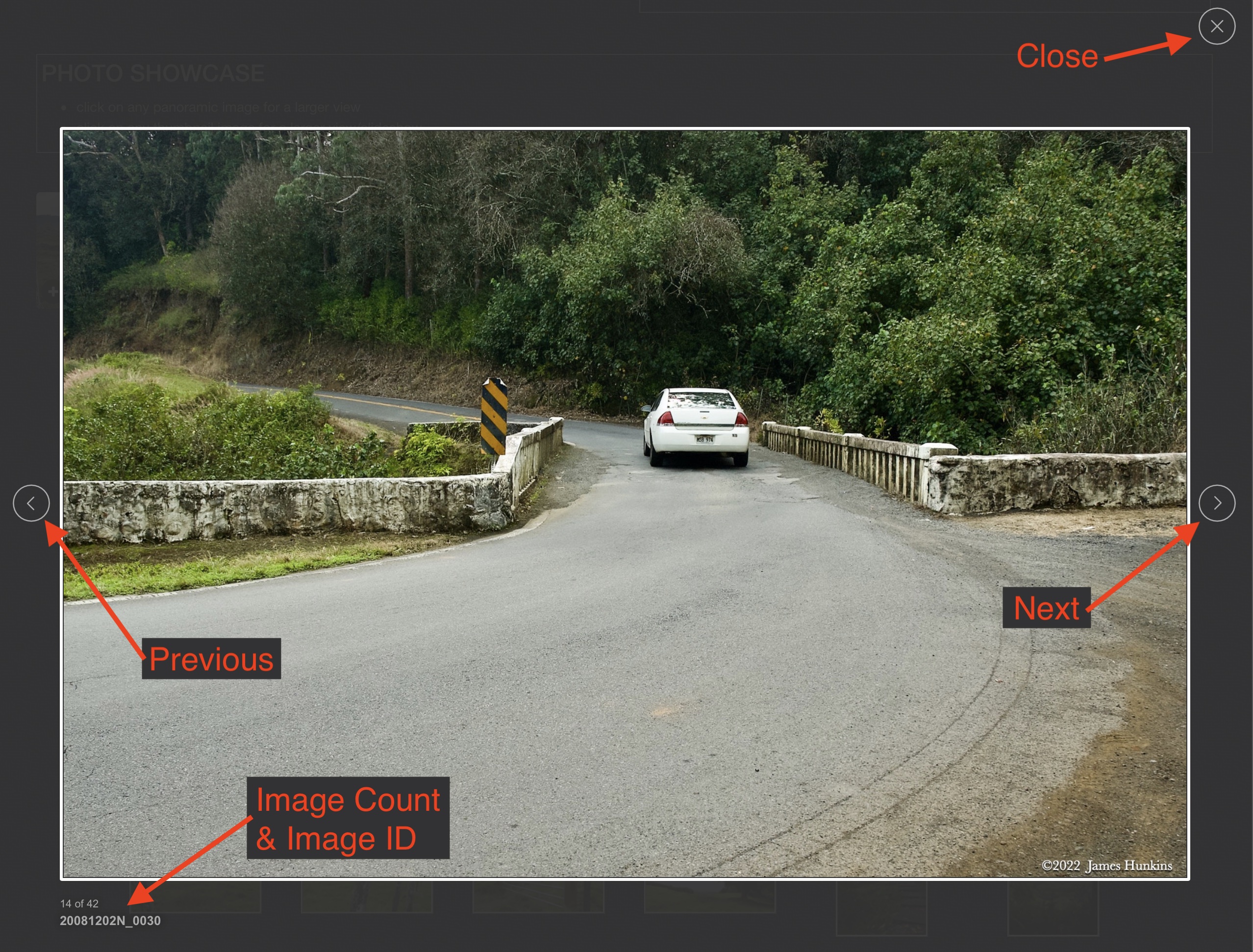
If you click on any photo thumbnail, it will open a larger viewer which can be used to walk through all of the standard photos on the page. Once open, to go forward click on the > on the right side of the enlarged image. To scan backwards, click on the < on the left side. To close the larger images either click on the X in the upper right hand corner of the browser window or anywhere outside of the enlarged image.

The Image ID label can be found by hovering a cursor over the image briefly (may not be available on some tablets/phones) or, once enlarged, from the lower left hand side just under the image.

Additionally, in the same area as the Image ID a count showing the current image number versus the total number of images available for viewing.

Image
Image
Image
PHOTO SHOWCASE
  • click on any panoramic image for a larger view
  • click on any thumbnail image for a larger view/slideshow
Image
2205120003-0010N - Highway approaching lookout at top of Haleakalã
Image
2205120013P - View from just below the top Haleakalã lookout viewing into the ‘crater’
Image
2205120023P - Starting down the Sliding Sands Trail heading into the Haleakalã crater region
Image
2205120048P - From the Sliding Sands Trail looking into the Haleakalã crater.
The trail to the cinder cone on the left (had visited it in 2008) is now closed for restoration of habitat
Image
2205120050-0059N - Looking into the Haleakalã crater with the clouds showing on the horizon rising to eventually spread into the crater
  • Summit of Haleakalā
    Summit of Haleakalā
    2205120001N
  • Summit of Haleakalā
    Summit of Haleakalā
    2205120002N
  • 2205120011N
  • Summit of Haleakalā
    Summit of Haleakalā
    2205120012P
  • Sliding Sands Trail
    Sliding Sands Trail
    2205120014N
  • Sliding Sands Trail
    Sliding Sands Trail
    2205120015N
  • Sliding Sands Trail
    Sliding Sands Trail
    2205120018N
  • Sliding Sands Trail
    Sliding Sands Trail
    2205120021N
  • Sliding Sands Trail
    Sliding Sands Trail
    2205120022P
  • Sliding Sands Trail
    Sliding Sands Trail
    2205120025P
  • Sliding Sands Trail
    Sliding Sands Trail
    2205120027N
  • Sliding Sands Trail
    Sliding Sands Trail
    2205120028N
  • Sliding Sands Trail
    Sliding Sands Trail
    2205120029N
  • Sliding Sands Trail
    Sliding Sands Trail
    2205120031N
  • Sliding Sands Trail
    Sliding Sands Trail
    2205120032N
  • Sliding Sands Trail
    Sliding Sands Trail
    2205120033N
  • Sliding Sands Trail
    Sliding Sands Trail
    2205120036N
  • Sliding Sands Trail
    Sliding Sands Trail
    2205120037N
  • Sliding Sands Trail
    Sliding Sands Trail
    2205120038N
  • Silver Sword Plant
    Silver Sword Plant
    2205120039N
  • Silver Sword Plant
    Silver Sword Plant
    2205120042N
  • Sliding Sands Trail
    Sliding Sands Trail
    2205120044N
  • Sliding Sands Trail
    Sliding Sands Trail
    2205120045N
  • Sliding Sands Trail
    Sliding Sands Trail
    2205120047N
  • Sliding Sands Trail
    Sliding Sands Trail
    2205120049N
  • Sliding Sands Trail
    Sliding Sands Trail
    2205120052N
  • Sliding Sands Trail
    Sliding Sands Trail
    2205120061N
  • Sliding Sands Trail
    Sliding Sands Trail
    2205120062N
  • Sliding Sands Trail
    Sliding Sands Trail
    2205120064N
  • Sliding Sands Trail
    Sliding Sands Trail
    2205120076P
  • Sliding Sands Trail
    Sliding Sands Trail
    2205120077P
  • Sliding Sands Trail
    Sliding Sands Trail
    2205120078P
  • Sliding Sands Trail
    Sliding Sands Trail
    2205120079P

© Copyright 2022-2023
James Hunkins

Image